
Streetlab México SA de CV
From the field to the system that decides.
Systems, field work, data, and applied AI. Mexico, North America, and Latin America.
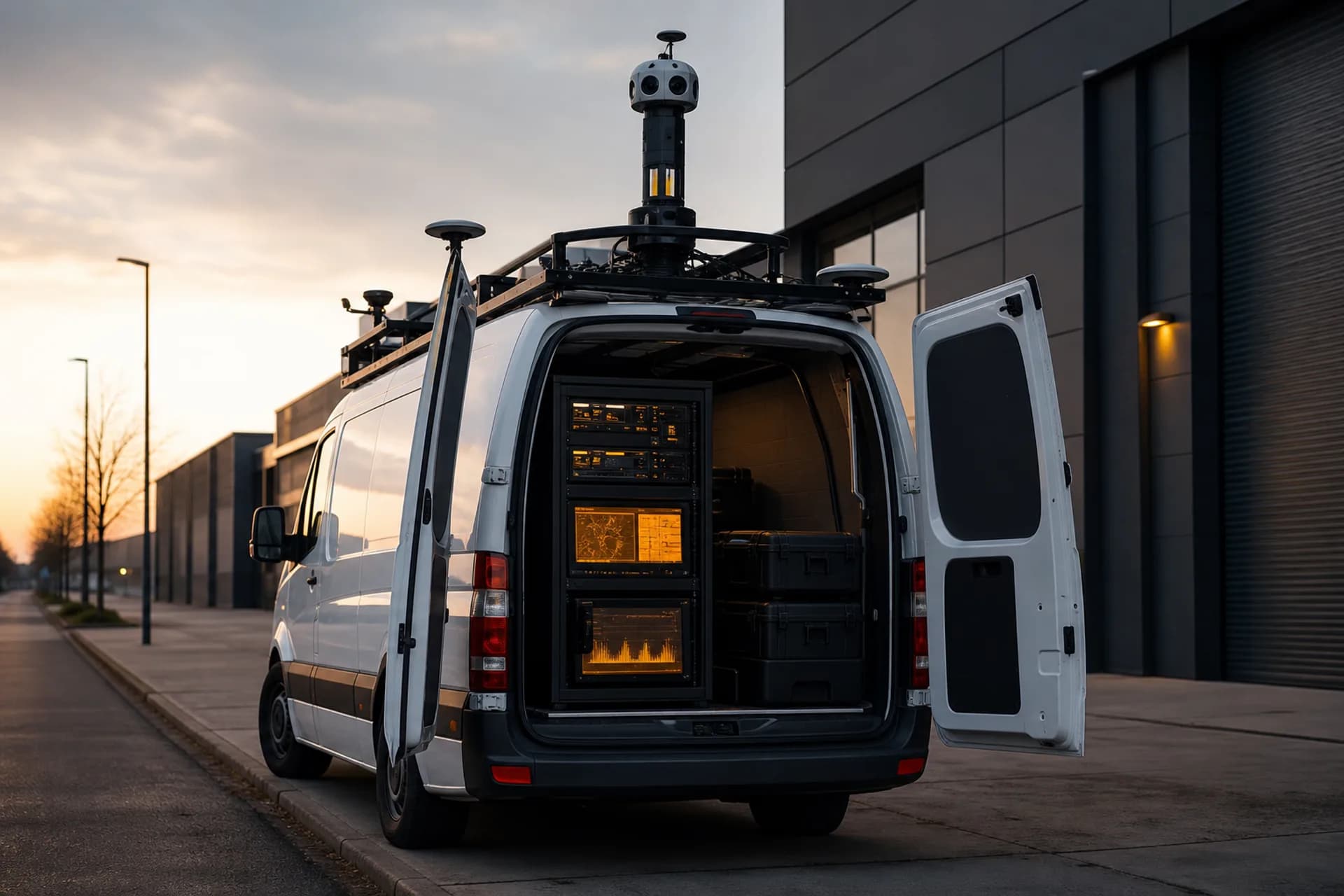
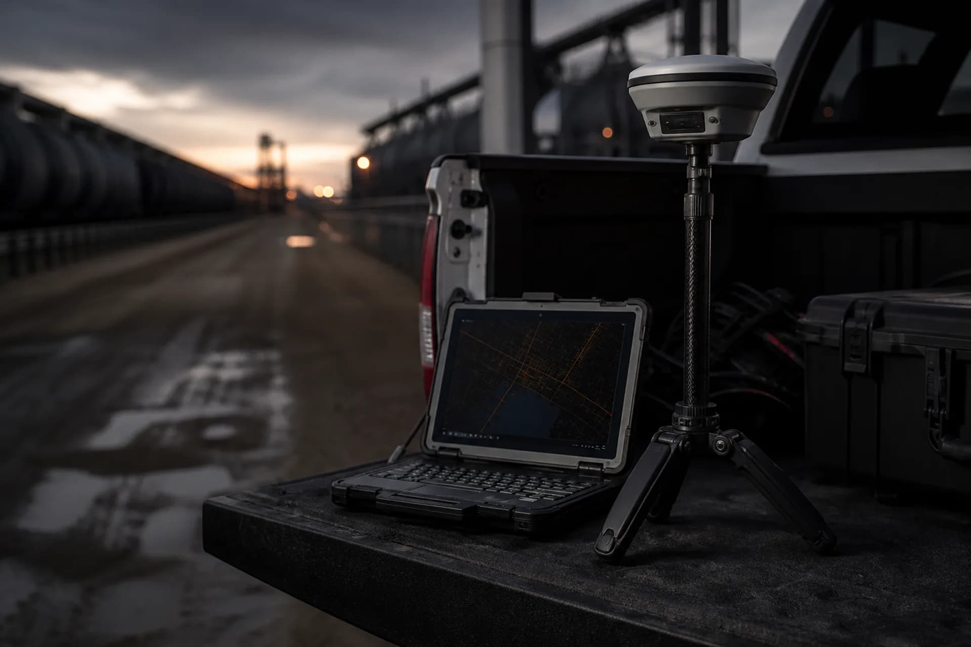
Field work, data, systems, and artificial intelligence.
Four integrated disciplines stand behind the territory solutions, operating across Mexico and Latin America.
Field
On-site capture with visits, photography, and georeferenced evidence; drone when the scope requires an aerial view.
Data
Layers, indicators, and filters on the territory, in the Claridad board.
Systems
An operating board, a work portal, and reports, usable from the first month.
Intelligence
Artificial intelligence applied to the territory and the delivery, inside the scope.

Claridad
Layers
Coverage
Routes
POI
Cartography, dashboards, and recommendations.
Every engagement concludes with verifiable deliverables, defined from the outset in a formal scope.
Maps
Coverage, routes, and points of interest, with street-level and aerial capture as defined in the scope.
Reports
Operating dashboards that update as the work progresses.
Recommendations
Priority, sequence, and next step, in writing.
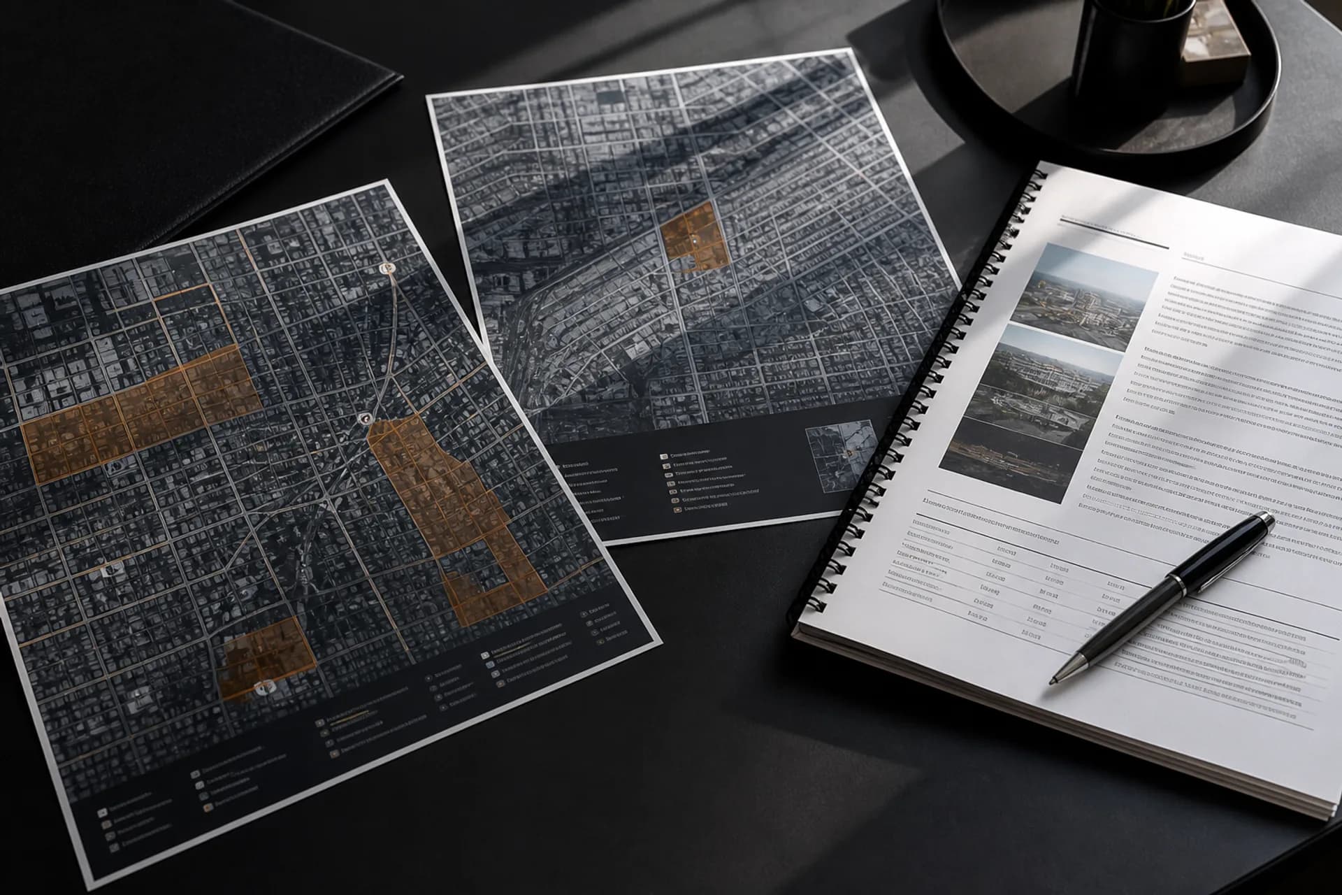
Every engagement begins with a formal scope.
Share the territory, the expected delivery, and the anticipated timeline. We will present a scope proposal and a quotation against the work, with confidentiality under agreement where required.

Software engineering
Engineering capability for your organization.
Flexible collaboration models: delivery managed by Streetlab, or engineers embedded within your organization's teams, aligned with North American business hours.
Dedicated teams
Engineering pods that own a complete workstream, with Streetlab accountable for the outcome.
Staff augmentation
Vetted profiles, embedded in the client's teams, with continuity guaranteed by contract.
Engagement model
Scope or profile in writing, client-owned intellectual property, and confidentiality under agreement.