Streetlab México
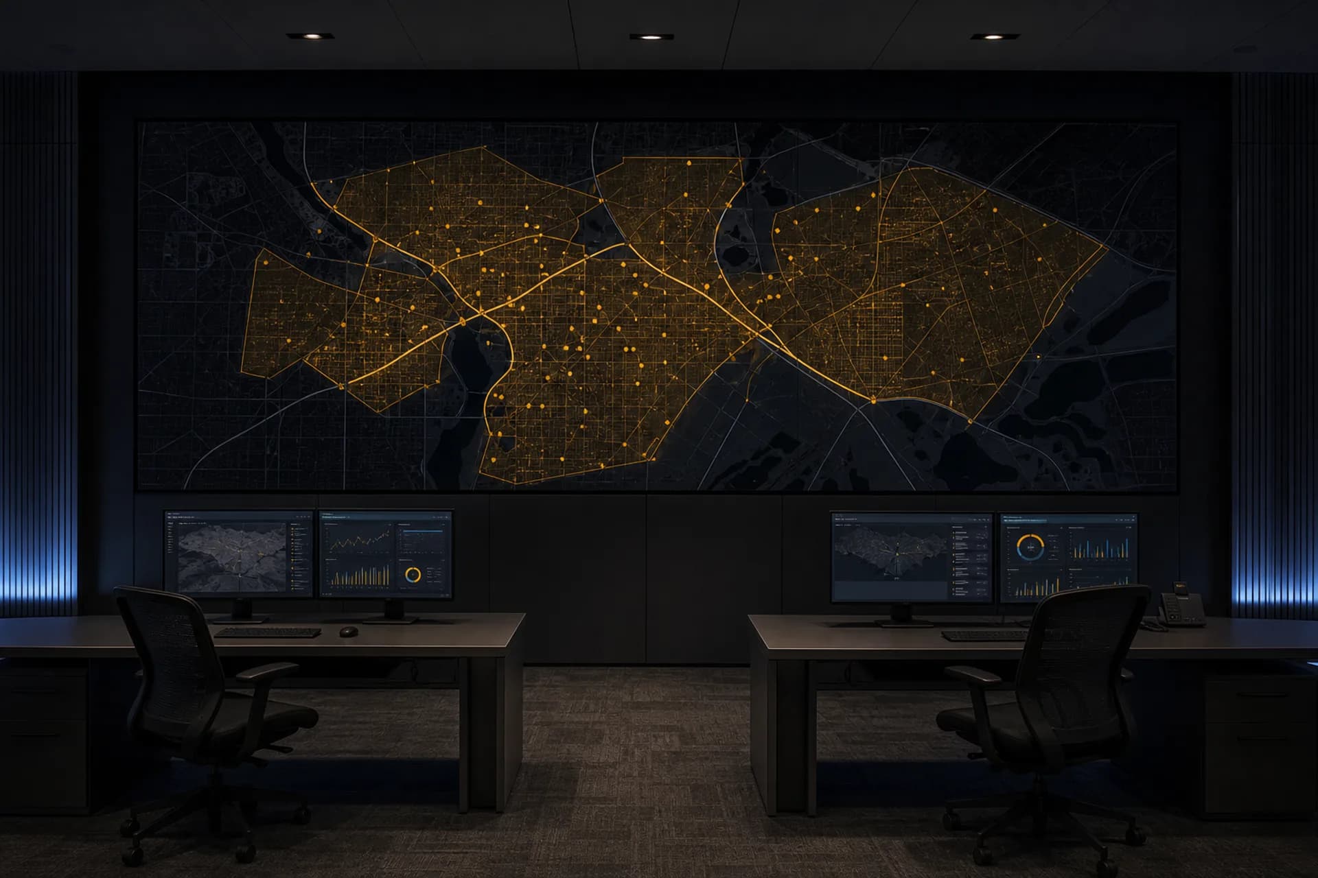
Operations center with a coverage map on screen.

Solutions

Solutions portfolio.

A portfolio of products and services in five lines: territory, field and data, systems, intelligence, and software engineering. Every engagement begins with a written scope and concludes with a verifiable delivery.

Solutions

Territory

Cartography, street-level imagery, drone capture, and point-of-interest inventories.

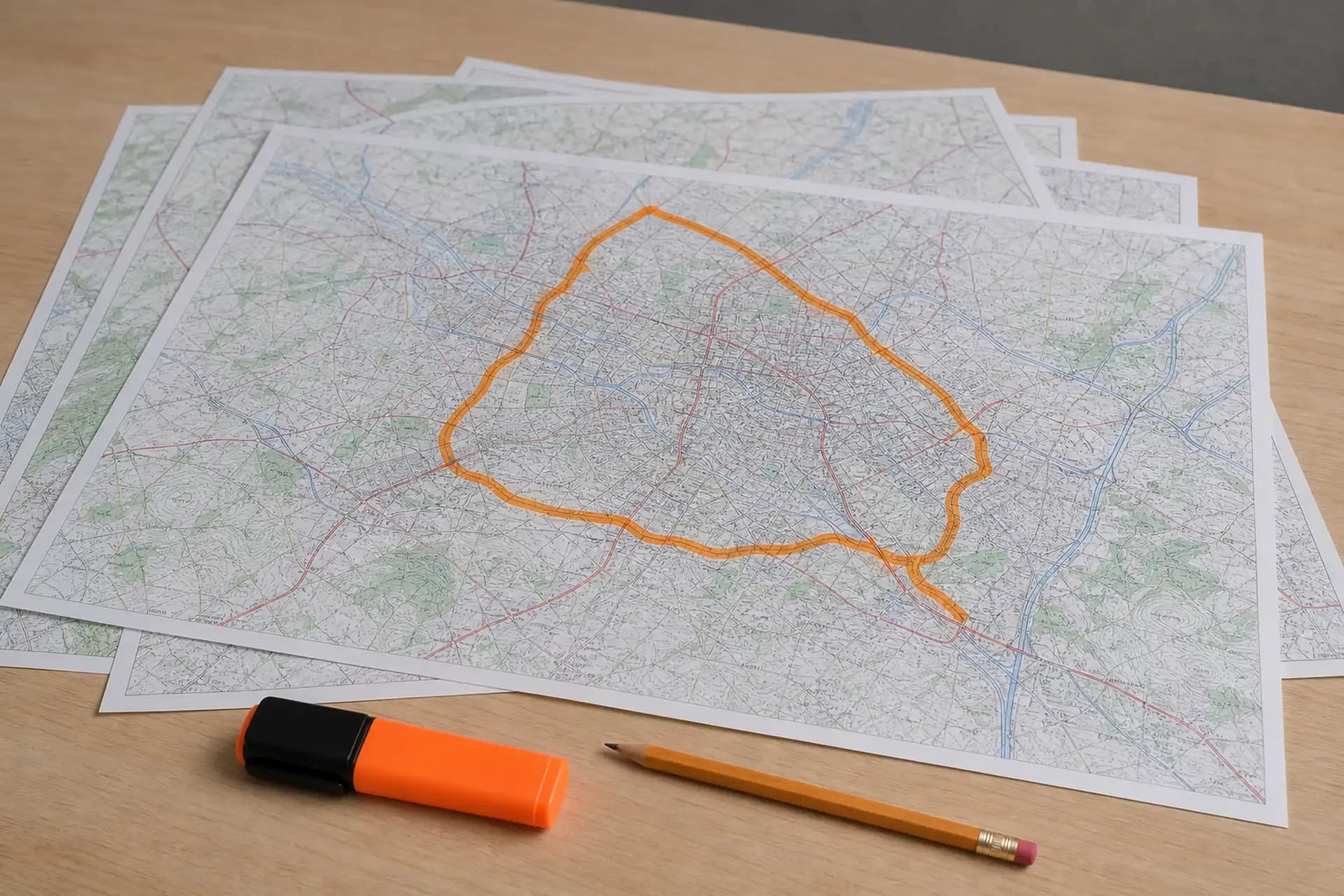
Printed maps on a table, with a marked zone.

Routing

Run studies for fleets and distribution networks that require measured order, time, and fuel.

Operating cost concentrates in crossings, cycle time, and fuel by segment. Delivery includes comparative maps and the recommended run order.

  1. 01

    Measurement of crossings, time, and fuel by segment.

  2. 02

    Before-and-after maps of the run.

  3. 03

    Recommended run order for operations.
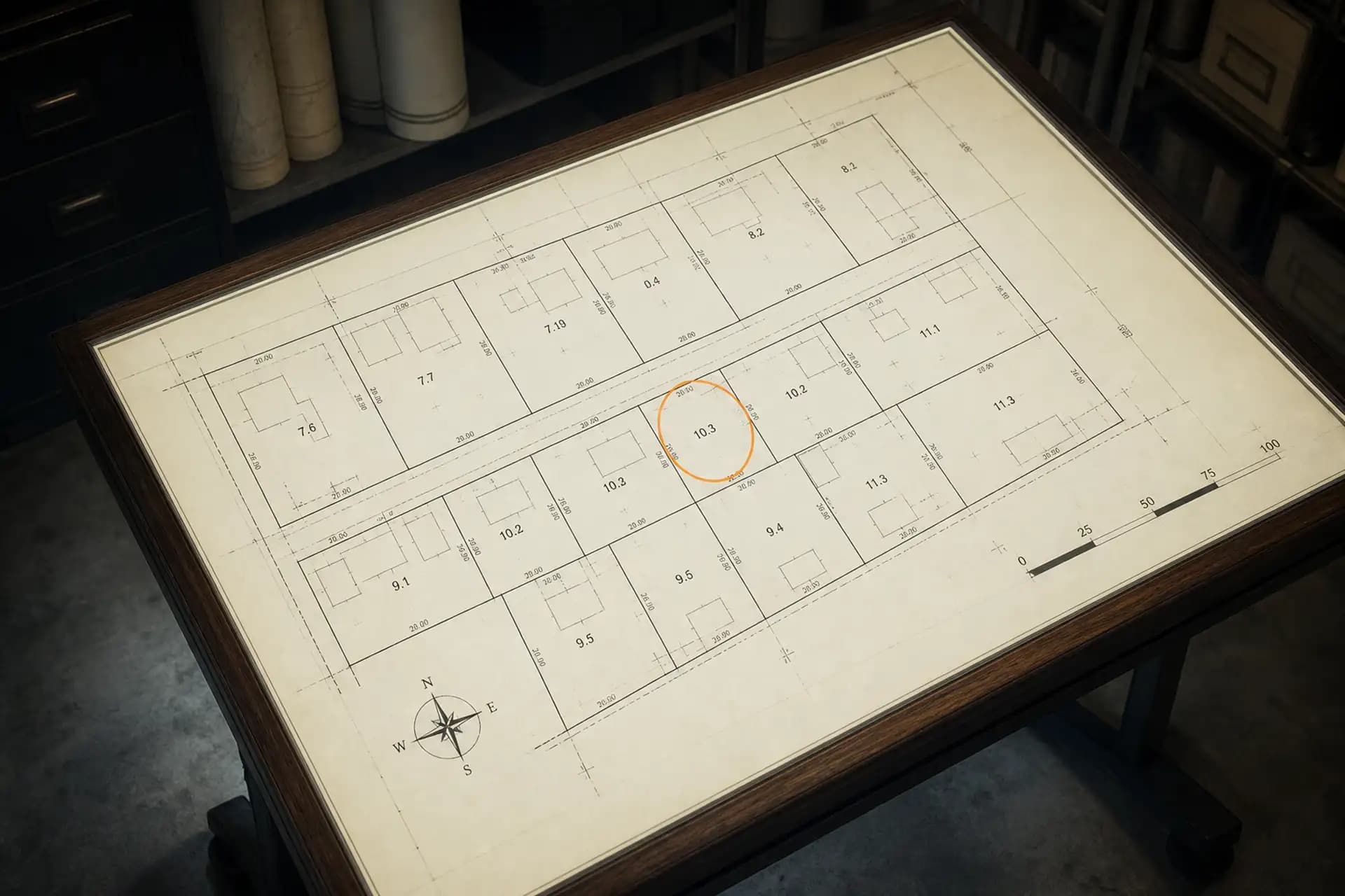
Parcel plan on a light table, with one lot marked.

Location

Site evaluation from zone, demand, and competition.

Delivery is a report with comparative cartography of the candidate sites.

Zone
The site’s surroundings: urban fabric, access, and the constraints named in the scope.
Demand
Demand signals in the area of influence, to compare candidates.
Competition
Comparable points on the same territory, on the map.
Coverage schematic on a monitor.

Coverage

An operating coverage map: reach, limits, and gaps.

Delivery includes the coverage layer, its limits, and the identified gaps, updated as the work progresses.

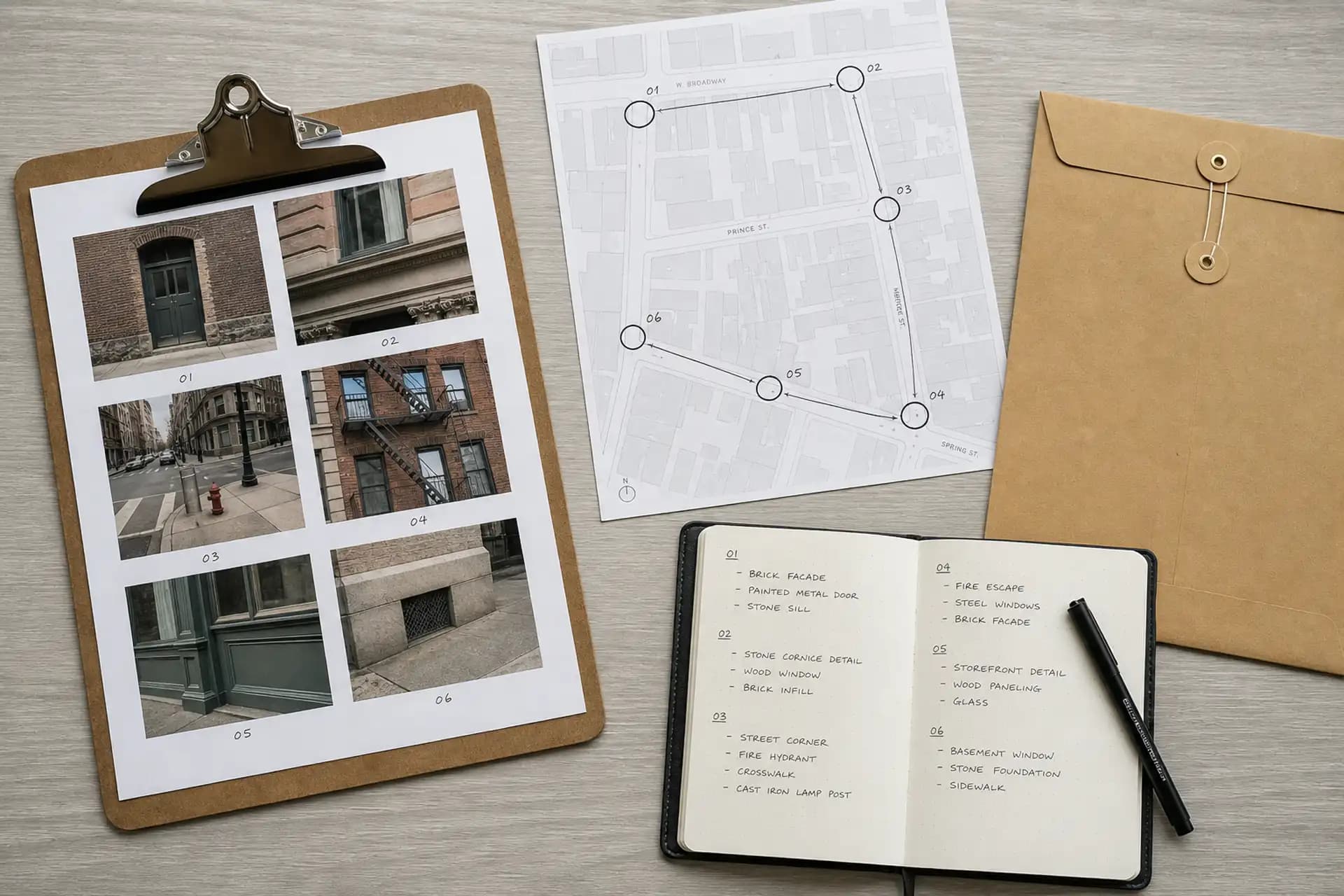
Run map, street photographs, and on-site capture notes.

Imagery and POI

Street-level capture and a point-of-interest inventory, when the mapping or operations client includes them.

Capture is aligned to addresses and to a point-of-interest inventory agreed in the scope.

  • Street-level imagery by address or segment.
  • POI inventory with the attributes named in the scope.
  • Change at the point when there is a second pass.
  • Evidence tied to the coordinate.
Capture drone in flight over an industrial corridor.

Drone capture

Aerial imagery when the scope requires roof, perimeter, or areas beyond street-level capture.

Drone capture is treated as georeferenced evidence, aligned to the same scope as the cartography and the point-of-interest inventory.

When
When the written work includes overflight of a site, a corridor, or a coverage zone.
Delivery
Georeferenced aerial imagery and, if the scope requires it, a mosaic or points to cross with street-level capture.

Solutions

Field and data

On-site capture, personnel in the field, and geocoded bases ready to operate.

Field notes, topographic map, and a segment table.

Field

On-site capture when desk analysis requires field verification.

Visits, photography, and capture on site. Delivery is base, map, and evidence.

Mobile capture unit with a camera mast and monitoring equipment.

On-site personnel

Mobile units and personnel in the field: point assignment, on-site capture, and evidence for the day.

Field personnel and mobile units work against assigned points, with measurable progress and evidence tied to the map.

  1. 01

    Assignment of points, segments, and corridors.

  2. 02

    On-site and mobile-unit capture under the protocol in the scope.

  3. 03

    Progress measured by points visited.

  4. 04

    Evidence of the day, tied to the map.

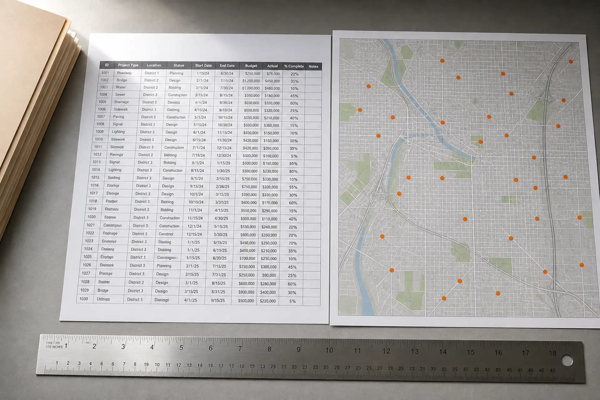
A printed list next to a map with marked points.

Geocoding

Addresses and points converted into a geocoded base.

We validate points, flag inconsistent addresses, and deliver a geocoded base ready to operate.

Input
Address lists, folio numbers, or points in spreadsheets.
Output
A geocoded base, validated points, and a map ready for the next process.

Claridad

Layers

  • Coverage

  • Routes

  • POI

Coverage, routes, and POI.

Data on a map

Lists and spreadsheets converted into layers, indicators, and filters on the territory.

Coverage, routes, and points of interest on one board, with the filters the scope defines.

Layers
Coverage, routes, points, and what the scope names.
Indicators
Operating indicators on the territory.
Filters
Cuts by zone, date, or status, to decide.

Solutions

Systems

An operating board, a work portal, and reports, usable from the first month.

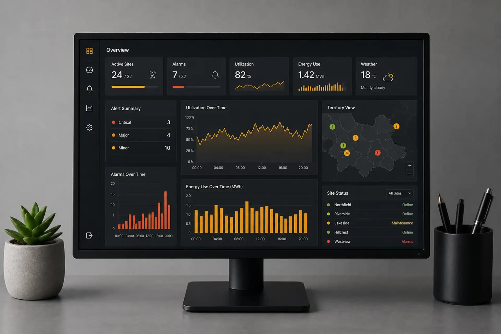
Monitor showing an operations board on a desk.

Systems

Boards, portals, and reports that operations can use from the first month.

Claridad concentrates the day-to-day operation of the scope in one place.

  • Operating board.
  • Work portal.
  • Reports that update with progress.
  • Scope status, visible to operations.

Claridad

Layers

  • Coverage

  • Routes

  • POI

Coverage, routes, and POI.

Status portal

Work status with owner, evidence, and blockers in view.

Each item in the scope has an owner, attached evidence, and visible blockers.

Owner
Each item has a visible owner.
Evidence
Attachments tied to the point or the delivery.
Blockers
Impediments recorded and visible until resolved.
Printed report: metrics and a site plan.

Reports

The operations report is a dashboard with views defined in the scope.

Coverage, routes, and points of interest update with the work; operations takes cuts to decide.

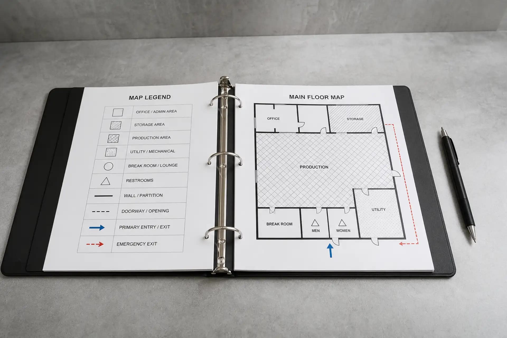
Open binder with a legend and a floor plan.

Training

Sessions and material so operations can read maps, layers, and indicators.

Training supports adoption of the system and is part of the delivery when the scope includes it.

  1. 01

    Live session on the board and the layers.

  2. 02

    Reading indicators and operating filters.

  3. 03

    Reference material for the team.

Solutions

Intelligence

Applied artificial intelligence, commercial cartography, and scope diagnosis.

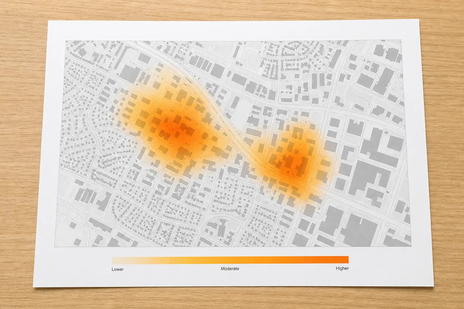
Printed heat map on a wood surface.

Geomarketing

Commercial cartography to identify customer concentration and prioritize expansion.

We deliver commercial maps and a zone prioritization, inside the written scope.

Concentration
Location of the best customers, by layer.
Priority
Priority zones with a recommended sequence.

Advisory

Diagnosis and a scope proposal while the work is not yet defined.

We prepare the diagnosis and a scope proposal; production begins once it is formalized.

Solutions

Software engineering

Engineering capabilities for organizations that build software, through managed delivery or direct integration into their teams.

Engineering floor with multi-monitor workstations at dusk.

Dedicated teams

Engineering pods managed by Streetlab that take ownership of a complete workstream, from development through production.

The organization defines the outcome; Streetlab assembles the team, directs execution, and answers for the delivery.

  • Web and mobile application development.
  • Data engineering, integrations, and process automation.
  • Geospatial software and operating systems.
  • Quality assurance, maintenance, and application support.
Two engineers reviewing code at a workstation.

Staff augmentation

Streetlab engineers embedded in the client's teams, under the client's technical direction and working processes.

Vetted profiles, structured onboarding, and continuity guaranteed by contract.

Profiles
Development, data, quality assurance, DevOps, and application support, against the profile the client specifies.
Integration
The consultant works inside the client's teams, tooling, and processes, reporting directly to the client's technical leadership.
Continuity
Profile replacement and knowledge transfer covered by contract.

Engagement model

Nearshore operation from Mexico, in a time zone aligned with North America.

Every engagement is governed by a master agreement, with intellectual property assigned to the client.

Models
Dedicated team, staff augmentation, or fixed-scope project.
Intellectual property
Work produced under contract belongs to the client.
Confidentiality
Confidentiality and service-level agreements available.
Time zone
Working day aligned with North American operating hours.

Every engagement is formalized in writing, delivered verifiably, and protected by confidentiality agreements where the organization requires them.